The Bio+Mine team conducted field activities, including social mapping, water sources assessment, and water sampling on July 7 and 8, 2023 in Sto, Niño, Tublay, Benguet. These activities gathered data to establish the relationships between socio-economic parameters and geolocation, evaluate the status of water resources, anticipate potential impacts, and develop sustainable management strategies.
Social mapping is crucial in the exploration of the potential impacts of various socio-economic factors on the activities conducted by the project within Sto. Niño. The Bio+Mine social team surveyed 108 households, exploring eight socio-economic parameters, including ethnicity, cooperative membership, income levels, educational attainment, reasons for residing in the area, family size, satisfaction with living conditions, and marital status. (See: Social Mapping for Environmental Studies: The Key Socio-economic Parameters).
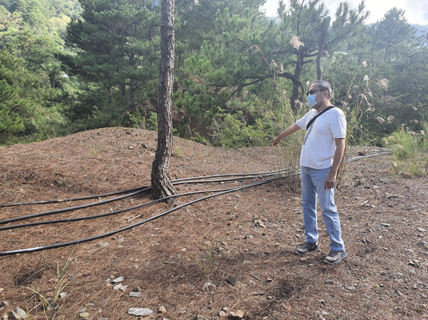
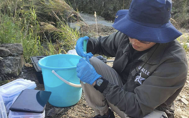
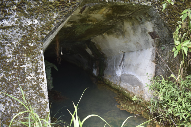
The water team, on the other hand, conducted a site assessment and collection of water samples from some of Sto. Niño’s water sources. The team inspected possible locations of springs or groundwater sources of the Sto. Niño community and identified pipe networks installed by residents. The collected samples will undergo thorough analysis to determine the presence of heavy metals.
The team also collected samples from the four original sampling sites: two sites during the first day, the Green Wall and the Upstream; and two more sites during the second day, SN11 and SN12. Also, eight additional sites were identified as water sources that the local community utilizes for domestic and agricultural purposes.
Among the sampled sites, a site coded as SN16 was found to be acidic with a pH level of 6.37 whilst other sites were neutral.
The data about water was plotted in a Geographical Information System (GIS) software, enabling the team to ascertain the locations of water sources and determine the primary water source in the area. These activities are part of Bio+Mine’s approach – gathering community-driven data and employing cutting-edge technology for the benefit of present and future generations.